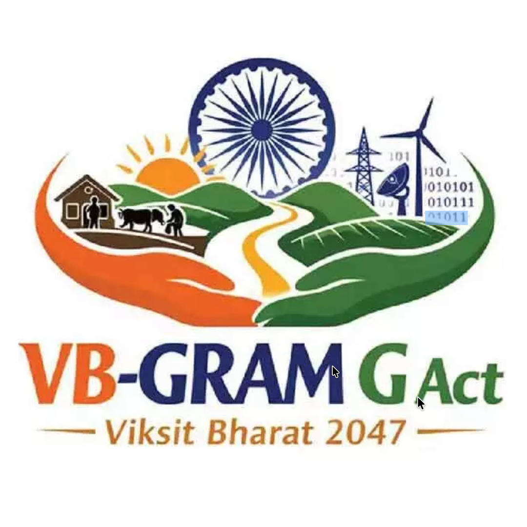
E Learning Platform for
VB G RAM G Officials
Master Viksit Gram Panchayat Planning (VGPP) on Yuktdhara through self-paced online training programs. Learn about VB G RAM G, get certified and contribute toward Viksit Bharat 2047.
Featured Courses
Geospatial planning courses by Ministry of Rural Development
Participatory Rural Planning Using Yuktdhara
An engaging introduction to Yuktdhara—India’s geospatial platform for MGNREGA asset planning at the Gram Panchayat level with integrated satellite data and mapping tools.
युक्तधारा पोर्टल के माध्यम से पारदर्शी ग्रामीण योजना
युक्तधारा वीडियो में युक्त धारा पोर्टल की कार्यप्रणाली और विशेषताएं सरल व प्रभावी तरीके से प्रस्तुत की गई हैं, जो ग्रामीण Panchayat स्तर पर MGNREGA की योजना निर्माण को GIS आधारित बहुआयामी दृष्टिकोण प्रदान करती है।
యుక్తధారా పోర్టల్ ద్వారా పారదర్శక గ్రామీణ ప్రణాళిక
యుక్తధారా పరిచయ వీడియో ఆకర్షణీయంగా ఉంటుంది. ఇది భారతదేశంలోని గ్రామపంచాయతీ స్థాయిలో MGNREGA ఆస్తుల ప్రణాళిక కోసం ఉపగ్రహ డేటా మరియు మ్యాపింగ్ సాధనాలను ఏకీకృతం చేసిన భౌగోళిక వేదిక.
Why e-Saksham?
Purpose-built for government officials and rural development professionals
Government Recognized
Learn geospatial planning online through self paced learning platform and get certified.
Efficiency Boost
Reduce planning time drastically and shift to desktop planning using geoinfomatics tools.
Data-Driven Planning
Leverage satellite data for scientific and evidence-based decision-making in the field.
Social Impact
Contribute to transparent and sustainable rural asset creation for community welfare.
Who should use e-Saksham?
Our training programs are designed for government professionals at all levels
In Partnership With